
University of Denver Amache Project
Bonnie J. Clark, Associate Professor of Archaeology, University of Denver. Co-Field Director
April Kamp-Whittaker, Post-Doctoral Fellow, Anthropology, University of New Mexico, Co-Field Director
The Department of Anthropology at the University of Denver (DU) is engaged in long-term community based research at Amache, the site of a World War II Japanese American internment camp in Colorado. The project integrates spatial data from intensive pedestrian survey, in-field and laboratory analysis of artifacts, and excavations of select landscaping and architectural features with historical data including photographs, oral histories, and archival documents.
View the Amache Camp Directory Map online (Guide to mapping at Amache)
This ArcGIS Online app was designed and developed by Dr. Bonne Clark and team member and GIS specialist James Casey. Although developed independently of OCHRE data, the goal is to supplement the map with archaeological and artifactual data supported by OCHRE.
The OCHRE platform has given the DU Amache Project team a way to integrate six field seasons of legacy data while preparing for digital field analysis in the future. Rather than separate artifact, photographic, and spatial databases, we now have one robust integration that accommodates the variability that happens in projects that evolve over time. Regular meetings with the OCHRE team are part of the project set-up and they have been invaluable in envisioning how our data can be best integrated through the platform.
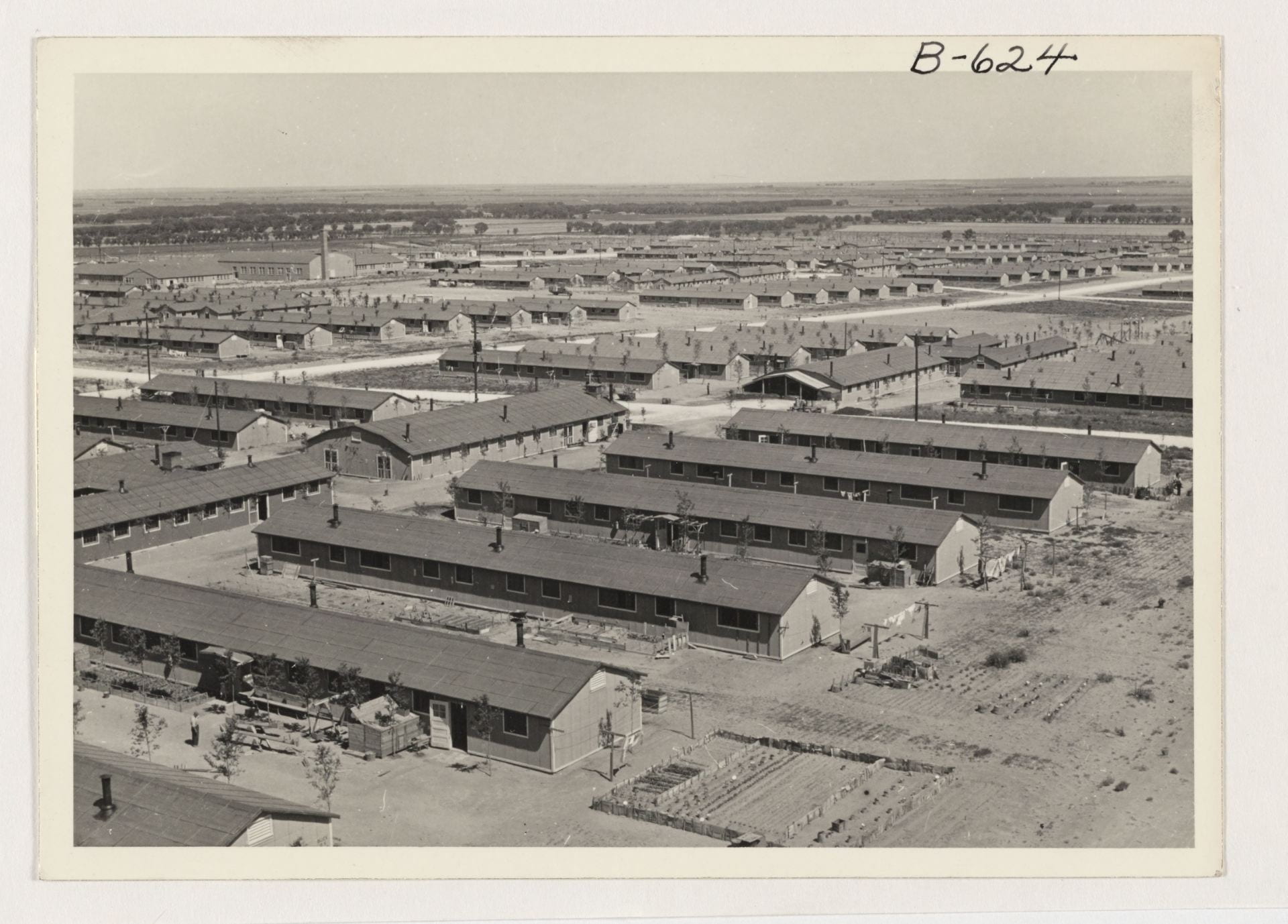
Photograph of Amache taken from the water tower, Joseph McClelland, 1943. Government image in the public domain.
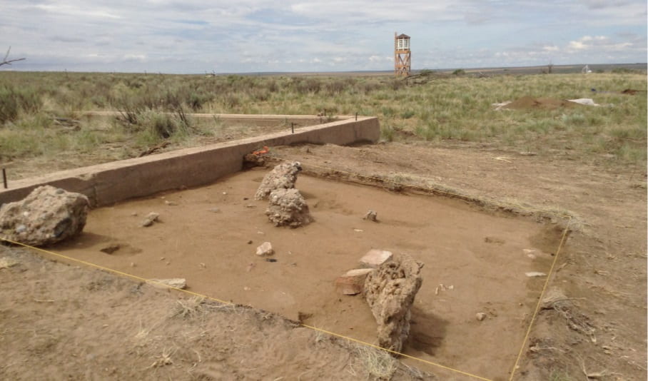
Barrack entryway garden excavated at Amache in 2014. Reconstructed guard tower in the background. DU Amache Project.